
AI and Satellite Imagery Help Stop Illegal Fishing in Panama
Provided by: Mongabay Kids|Published on: May 7, 2026|Last updated: July 16, 2026
Grades: 5, 6, 7
Type: Articles/Websites
Subjects: Biology
Authors: Edward Carver, David Brown
Location: South America
This resource has been reviewed by SubjectToClimate's climate scientists and verified for scientific accuracy and up-to-date information. Learn about our review process →
This resource has been reviewed by SubjectToClimate's climate scientists and verified for scientific accuracy and up-to-date information. Learn about our review process →
Synopsis
- This short article describes how satellite images and AI are used to prevent illegal fishing in Panama's Cordillera de Coiba, a marine protected area.
- Students will learn how technology can help protect ocean ecosystems.
Teaching Materials
Classroom Implementation:
- This article can be a hook for a lesson on marine ecosystems and human impacts, in which discuss how illegal fishing can disrupt food webs and biodiversity.
Interdisciplinary Connections:
- Technology:
- Use this article as an entry point to discuss the benefits and harms of using AI technology on the environment.
- Geography/Government:
- Connect this article to the idea of protected areas, governance, and how governments create and enforce laws to manage natural resources.
Climate Change Connections:
- Human activities (like overfishing) and climate stressors together threaten marine biodiversity.
- While technologies like AI can help with certain challenges, they also use significant electricity, which can increase greenhouse gas emissions and contribute to climate change.
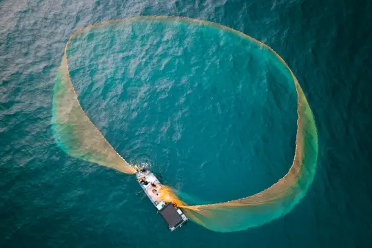
This short article explains how the government of Panama used AI to identify and seize six fishing vessels illegally operating in the Cordillera de Coiba marine protected area. This resource has been adapted for kids, but the full article is linked for more information. The resource supports discussion about sustainable fishing and protected wildlife areas. It also provides an example of how AI can benefit the environment, a topic that is not commonly discussed. Discussion of AI and the environment often focuses on how AI and its associated data centers deplete water, energy, and other resources and negatively impact the surrounding environment. It is important to recognize the benefits and environmental consequences of AI when discussing it. The information presented is accurate, and this resource is recommended for teaching.
Teaching Tips
Standards
Resource Type and Format
Scientist Reviewed
This resource has been reviewed by SubjectToClimate's climate scientists and verified for scientific accuracy and up-to-date information. Our review process ensures that every resource in our library reflects the current state of climate science.
Learn about our review process →