
Coastal Flood Exposure Mapper

This resource has been reviewed by SubjectToClimate's climate scientists and verified for scientific accuracy and up-to-date information. Learn about our review process →
Provided by: NOAA|Published on: April 27, 2021
Data, Graphs, and MapsScientist Reviewed
6789101112
Scientist Reviewed This resource has been reviewed by SubjectToClimate's climate scientists and verified for scientific accuracy and up-to-date information. Learn about our review process →
Synopsis
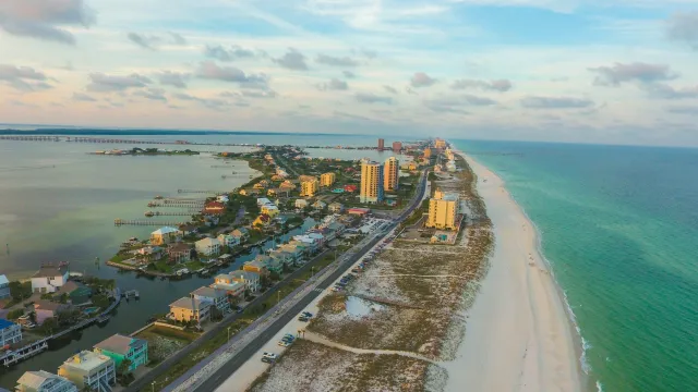
- This interactive resource allows students to view and build maps of the United States with data about coastal flooding hazards, vulnerable populations, infrastructure, and ecosystems.
- Students can search for addresses and zoom in on specific coastal neighborhoods to view the data for each region.
Subjects: Biology, Earth and Space Sciences, Geography
Authors: NOAA
Region: North America, USA - Northeast, USA - West, USA - South, USA - Midwest, United States, New Jersey
Languages: English
Teaching Materials
Positives
- Students can learn more about each layer by clicking on the information (i) icon.
- Students can save, export, and share the maps they create.
Prerequisites
- The legend button is located at the bottom right-hand corner of the screen.
- Some of the layers are difficult to see together, but students can change the color gradients to make it easier to differentiate between the layers.
Differentiation & Implementation
- Geography classes could look at the development patterns and discuss how risk of flooding has impacted more recent development. Students could consider the following questions:
- Should people develop areas that FEMA has identified as flood zones?
- What should happen to established neighborhoods that are at high risk for frequent flooding?
- Why might people choose to live on the coast?
- Science classes could layer "coastal flood hazard composite" with "potential pollution sources" and discuss how flooding could impact areas that overlap.
- Other resources on this topic include this video from WION on rising sea levels in New Jersey, this Vox video on building a sea wall to protect New York, and this article and video about flood prevention in Venice and Holland.
This is a map that shows the level of coastal flooding from tsunamis, storm surges, and sea level rise in the USA. This is relevant to respond to extreme weather events and natural disasters. This is recommended for teaching.
Teaching Tips
Standards
Resource Type and Format
Scientist Reviewed
This resource has been reviewed by SubjectToClimate's climate scientists and verified for scientific accuracy and up-to-date information. Our review process ensures that every resource in our library reflects the current state of climate science.
Learn about our review process →