
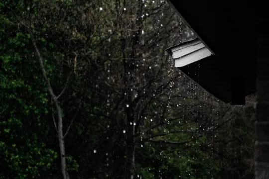
Connecting Climate Change to the Water Cycle

This resource has been reviewed by SubjectToClimate's climate scientists and verified for scientific accuracy and up-to-date information. Learn about our review process →
Provided by: New York DEP|Published on: February 6, 2024
Lesson PlansScientist Reviewed
678
Scientist Reviewed This resource has been reviewed by SubjectToClimate's climate scientists and verified for scientific accuracy and up-to-date information. Learn about our review process →
Synopsis
- In this lesson, students learn about the connections between climate change and the water cycle by creating graphs to show how precipitation and evaporation have changed over time in different locations.
- Students present their work in a gallery walk and discuss what their research uncovered about changes to the water cycle, the impacts these changes have, and strategies to address the effects.
Subjects: Earth and Space Sciences, Geography
Authors: New York DEP
Region: North America, USA - Northeast, United States, New York, New York City
Languages: English
Teaching Materials
Positives
- Students will explore human interactions with Earth systems and hone their systems thinking skills.
- This interdisciplinary lesson incorporates Earth science, geography, and math components.
Additional Prerequisites
- Each student group will need a computer with internet access.
- If students make graphs by hand, each group will need poster paper, markers, and post-it notes.
- Students should understand the basics of reading maps, graphing, climate change, and the water cycle.
Differentiation
- Teachers can choose the scale of this lesson by assigning students specific areas globally, nationally, or locally.
- The lesson is designed for New York City classrooms, but teachers can easily modify it for use in other cities by changing locations for research.
- Students can create the graphs by hand on poster paper or digitally in Google Sheets.
- The lesson includes an optional extension activity where students learn about the watersheds in upstate New York through a penpal program.
- The lesson does not provide much instruction for students to create their graphs. Teachers should consider walking students through an example location as a class to help students understand how to interpret the NOAA maps, set up data tables, and create effective graphs.
This activity allows students to evaluate how climate change alters the water cycle. It is recommended for teaching.
Teaching Tips
Standards
Resource Type and Format
Scientist Reviewed
This resource has been reviewed by SubjectToClimate's climate scientists and verified for scientific accuracy and up-to-date information. Our review process ensures that every resource in our library reflects the current state of climate science.
Learn about our review process →