
ESRI Drought Tracker

This resource has been reviewed by SubjectToClimate's climate scientists and verified for scientific accuracy and up-to-date information. Learn about our review process →
Provided by: ESRI Drought Aware|Published on: July 24, 2023
Data, Graphs, and MapsScientist Reviewed
6789101112
Scientist Reviewed This resource has been reviewed by SubjectToClimate's climate scientists and verified for scientific accuracy and up-to-date information. Learn about our review process →
Synopsis
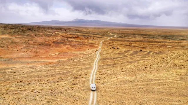
- This interactive map allows students to see the current and historic drought conditions around the United States, including specific information about their impacts on agriculture and a drought outlook estimate.
- The map shows drought conditions in the United States between 2000 and the present year, and is updated weekly.
Subjects: Biology, Earth and Space Sciences, Geography
Authors: ESRI Drought Aware
Region: North America, United States
Languages: English
Teaching Materials
Positives
- Students will enjoy being able to search their own area or other places important to them.
- This resource is very self-explanatory and easy to use.
Additional Prerequisites
- Students should have an understanding of what droughts are and what causes them.
- In order to use the resource independently, students should be comfortable reading maps and graphs.
- You must click on the link to the resource from the CLEAN page.
Differentiation
- This resource would work well to supplement a science class covering the water cycle, global climate change, or the needs of plants and animals.
- Cross-curricular connections can be made in math classes using data and graphs or in health classes that are considering the health impacts of droughts on rural communities.
- Younger students would benefit from the teacher showing the class an example location and looking at the graphs and additional information presented on each page.
- Have students choose a location (or pick one at random for them) to research and share out their findings.
- As an ongoing project, students can track drought conditions for a location over time, as the resource is updated weekly.
This map tracks the drought outlook in the USA. Students will find it easy to navigate the map in order to understand past, present, and future droughts and the level of vulnerabilities. This map is essential, as it provides accurate data for policymakers, planners, and households to prepare and build resilience to impending drought risks. This resource is recommended for teaching.
Teaching Tips
Standards
Resource Type and Format
Scientist Reviewed
This resource has been reviewed by SubjectToClimate's climate scientists and verified for scientific accuracy and up-to-date information. Our review process ensures that every resource in our library reflects the current state of climate science.
Learn about our review process →