
Google Earth Engine Timelapse

This resource has been reviewed by SubjectToClimate's climate scientists and verified for scientific accuracy and up-to-date information. Learn about our review process →
Provided by: Google Earth|Published on: April 27, 2021
Data, Graphs, and MapsScientist Reviewed
6789101112
Scientist Reviewed This resource has been reviewed by SubjectToClimate's climate scientists and verified for scientific accuracy and up-to-date information. Learn about our review process →
Synopsis
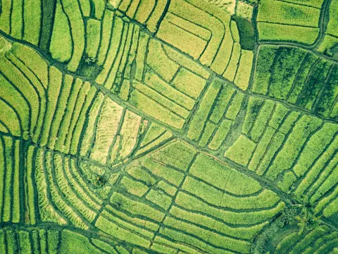
- This interactive time-lapse map lets students explore changes to land, water, or ice in 18 different locations around the world using Google Earth satellite imagery.
- Images date back to 1984 and include changes in glaciers, lakes, forests, coastlines, rivers, urban areas, and industrial sites.
- Students will explore changes in Alaska, Las Vegas, California, Brazil, Australia, Chile, Germany, China, India, Peru, Bolivia, Dubai, Alberta, Madagascar, Uzbekistan, Kazakhstan, Saudi Arabia, and Myanmar.
Subjects: Biology, Earth and Space Sciences, Geography
Authors: Google Earth
Region: Africa, Asia, Europe, Middle East, North America, South and Central America, USA - Northeast, USA - West, United States, Oceania, New Jersey, California, Nevada, Alaska
Languages: English
Teaching Materials
Positives
- Seeing the changes to the Earth from satellite imagery is a powerful way to introduce students to a number related topics.
- The progression of images can be paused and clicked through at the student's pace.
Additional Prerequisites
- Students should be familiar with the terms deforestation, mining, expansion, meandering, urban, infrastructure, and glacier.
- Using wireless Internet or a slower connection may take longer for the images to load.
Differentiation
- Students can use this resource as a whole-class activity, in groups, or individually.
- Cross-curricular connections could be made with social studies, economics, and history classes when considering our current and historical use of land for agricultural purposes, natural resources, trade routes, or cities.
- Ecology courses could use this resource to identify areas where wild populations may have been fragmented or isolated and connect it to biodiversity loss using this resource, this video on humans and biodiversity.
- Other resources related to this topic include this Google Earth time lapse on urban sprawl, this sea level rise viewer, and the environmental impacts of food data explorer.
The resource presents time series data on glaciation, deforestation, urbanization, coastal expansion, sea rise, mining, and other global environmental problems with a variable time span of 37 years (1984-2020). The datasets used for the images are accurate. Thus, students can explore and get good insights into the spatiotemporal changes in the selected environmental problems. The resource is recommended for teaching.
Teaching Tips
Standards
Resource Type and Format
Scientist Reviewed
This resource has been reviewed by SubjectToClimate's climate scientists and verified for scientific accuracy and up-to-date information. Our review process ensures that every resource in our library reflects the current state of climate science.
Learn about our review process →