
Land: Maps of Dryness

This resource has been reviewed by SubjectToClimate's climate scientists and verified for scientific accuracy and up-to-date information. Learn about our review process →
Provided by: Probable Futures|Published on: October 24, 2022
Data, Graphs, and MapsScientist Reviewed
9101112AP
Scientist Reviewed This resource has been reviewed by SubjectToClimate's climate scientists and verified for scientific accuracy and up-to-date information. Learn about our review process →
Synopsis
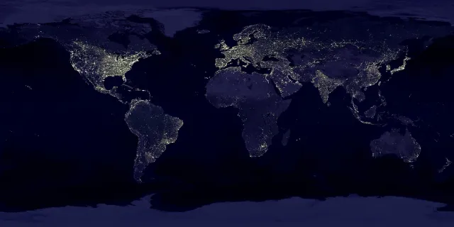
- This series of interactive maps allows students to visualize the changes in water balance, temperature, precipitation, dryness, and climate zones, based on different warming scenarios.
- Students can use these colorful maps to understand how climate change will affect different regions of the world, including their own.
Subjects: Biology, Earth and Space Sciences, Geography
Authors: Probable Futures
Region: Global
Languages: English
Teaching Materials
Positives
- Whether it be precipitation, dryness, or temperature maps, each map also contains anecdotes of different communities' experiences with climate change.
- Specific changes in different climate variables in a city, region, or country can be viewed by clicking on the location on the map.
Additional Prerequisites
- This resource is the fourth and final part of a series on land but it can be used on its own.
- This resource requires access to the internet.
- A quick tour of how to use the maps can be found in the top right corner.
- Click on the circled "i" to learn more about each warming scenario and map.
- Before using the resource, students should understand terms like precipitation, drought, climate, and global average surface temperature.
Differentiation
- Have students reflect on why different regions are affected differently by the global average increase in temperature.
- This resource can also be used in health classes during lessons about the effects of increased precipitation, drought, temperature, and extreme weather on human health.
- Math classes can reference this resource during lessons about probability and data visualization and science classes can us it during lessons about how global warming influences extreme weather events.
- To integrate this into a science lesson, use this other interactive resource about heat in the United States or use this interactive textbook about climate zones and biomes.
- The first, second, and third parts of the series can be found at these links.
This is an interactive map that projects the change in water balance conditions or the magnitude of dry conditions across the globe. It uses the CMIP5 to ensemble 5 warming scenarios. Although, until recently, the reliability of CMIP5 to predict plausible outcome had been questioned on the account of its behavior. The CMIP6 has now become the best model for downscaling. As noted by the author, the map will be upgraded as data trickle in. However, this resource provides basic insights on the scenarios and is recommended for teaching.
Teaching Tips
Standards
Resource Type and Format
About the Partner Provider

Probable Futures
Probable Futures offers useful tools and maps to visualize climate change along with stories and insights to help people understand what those changes mean.
Scientist Reviewed
This resource has been reviewed by SubjectToClimate's climate scientists and verified for scientific accuracy and up-to-date information. Our review process ensures that every resource in our library reflects the current state of climate science.
Learn about our review process →