
Land Use Lesson 1: Observing Land Use

This resource has been reviewed by SubjectToClimate's climate scientists and verified for scientific accuracy and up-to-date information. Learn about our review process →
Provided by: GoOpen Michigan|Published on: October 30, 2024
Lesson PlansScientist Reviewed
345
Scientist Reviewed This resource has been reviewed by SubjectToClimate's climate scientists and verified for scientific accuracy and up-to-date information. Learn about our review process →
Synopsis
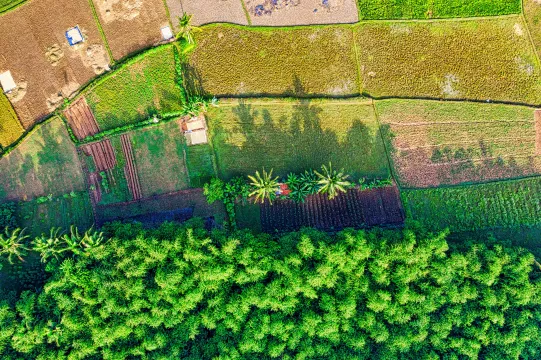
- This lesson introduces students to aerial photography and its use in environmental science.
- Students will learn what an "air photo" is, compare two aerial photos of Shelby Township, MI, and discuss the changes in land use from 1980 to 1995.
- This is the first lesson in an 8-part unit about land use.
Subjects: Science, Social Studies
Authors: MEECS, EGLE
Region: Mid Michigan, Southeast Michigan
Languages: English
Teaching Materials
Positives
- The resource includes multiple options for assessment, making it accessible for many students to demonstrate their understanding.
- There are also many valuable extension opportunities included in the resource.
Prerequisites
- To see all of the materials and information, including the steps for teaching the lesson, teachers will need to click on the link titled "Land Use Lesson 1: Observing Land Use" and the green View Resource button (or click here).
- Teachers may want to purchase or borrow A Bird’s-Eye View by Rand McNally, but this book is optional.
- The TerraServer website recommended in the Enhancement section may not work, but students can use Google Earth instead.
- Some of the links for additional resources don't work.
Differentiation & Implementation
- Students can explore aerial photos of their towns using Google Earth.
- After learning about the changes in land use over time, students can research the impact of land use on the environment, finding local examples if possible.
- Students can use the aerial photographs to draw a map, including map features like a legend and compass rose.
- To extend upon the assessment option that asks students to imagine Shelby Township when they are 15, students can draw what they think a future air photo will look like, identifying changes they predict.
- After teaching this lesson, teachers can follow it with Lesson 2.
Students can learn about air photographs and how to observe changes in land cover and use in Michigan using this resource. After going over the lesson plan and all the supporting materials, it passed our scientific review procedure.
Teaching Tips
Standards
Resource Type and Format
Scientist Reviewed
This resource has been reviewed by SubjectToClimate's climate scientists and verified for scientific accuracy and up-to-date information. Our review process ensures that every resource in our library reflects the current state of climate science.
Learn about our review process →