
Maine Climate Science Dashboard

This resource has been reviewed by SubjectToClimate's climate scientists and verified for scientific accuracy and up-to-date information. Learn about our review process →
Provided by: Maine Climate Council|Published on: July 10, 2023
Articles/WebsitesScientist Reviewed
9101112AP
Scientist Reviewed This resource has been reviewed by SubjectToClimate's climate scientists and verified for scientific accuracy and up-to-date information. Learn about our review process →
Synopsis
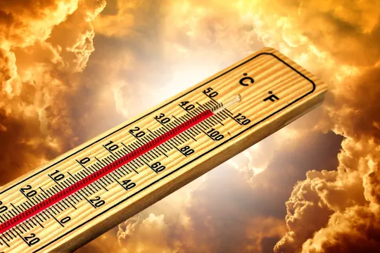
- This article includes information and interactive graphs about Maine's climate since 1880, including projections of sea level rise, sea temperature, and land temperature into the future.
- The maps and graphs are specific to the three climate zones in Maine and the Gulf of Maine, and there are a number of helpful links included for more information.
Subjects: Biology, Earth and Space Sciences, Mathematics, Engineering
Authors: Maine Climate Council
Region: North America, USA - Northeast, United States, Maine
Languages: English
Teaching Materials
Positives
- The article cites credible sources.
- The land temperature dashboard considers different regions within Maine.
Additional Prerequisites
- Students should be able to read line graphs and bar graphs.
- Make sure to read the section that says "How to use the Maine Climate Science Dashboard."
Differentiation
- This resource could support a lesson about greenhouse gas emissions, how they impact Earth's climate, and how these impacts alter life around the world.
- This resource could augment a classroom discussion on the Maine government's effectiveness at presenting climate change information to their constituents.
- This resource could supplement a lesson about the negative externalities of climate change for economies around the globe.
- This resource could enhance a classroom discussion about what political changes must happen for the world to tackle climate change more aggressively.
This website from the Maine Climate Council provides three interactive graphs that supply data about land temperature, ocean temperature (for long-term temperature projections and seasonal trends), and sea level rise, from mid-century through today, plus projections through the end of the century. This website would be a great resource for any classroom discussion on temperature or sea level variations over time and projections into the future, as well as discussions about data analytics. This resource is recommended for teaching.
Teaching Tips
Standards
Resource Type and Format
Scientist Reviewed
This resource has been reviewed by SubjectToClimate's climate scientists and verified for scientific accuracy and up-to-date information. Our review process ensures that every resource in our library reflects the current state of climate science.
Learn about our review process →