
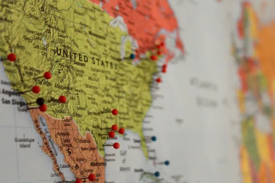
Map of Cancer-Causing Industrial Air Pollution in the U.S.

This resource has been reviewed by SubjectToClimate's climate scientists and verified for scientific accuracy and up-to-date information. Learn about our review process →
Provided by: ProPublica|Published on: April 27, 2021
Data, Graphs, and MapsScientist Reviewed
6-AP
Scientist Reviewed This resource has been reviewed by SubjectToClimate's climate scientists and verified for scientific accuracy and up-to-date information. Learn about our review process →
Synopsis
- This interactive map from ProPublica highlights areas in the contiguous United States where levels of air pollution associated with cancer risk are greater than the levels that the EPA deems acceptable.
- Students will learn that the EPA does not take into account the cumulative risk of cancer for individuals living in close proximity to multiple factories and refineries.
- Three linked articles (Our Story, Our Methodology, and What This Means for You) provide an enormous amount of information about how ProPublica created the map and the implications for at-risk communities.
Subjects: Geography, Health
Authors: ProPublica
Region: United States
Languages: English, Spanish
Teaching Materials
Positives
- The map highlights "hot spots" around the country but also allows students to search for their own addresses.
- Clicking on the hot spots generates a pop-out with detailed information about the risk of cancer in the area and the contributing factors for the increased risk.
Prerequisites
- Students should be familiar with the role of the EPA.
- The resource is available in Spanish.
- Teachers should be sensitive to the fact that some students or their families may have been directly affected by pollution-induced health problems.
Differentiation & Implementation
- Civics and government classes can review the history of the Clean Air Act and learn more about how it is enforced.
- Social studies and history classes can read the linked article titled "Our Story" to learn about why BIPOC communities (especially Black communities) are disproportionately located near factories that cause air pollution. Students could also read "What This Means for You" to find out what communities can do to advocate for themselves.
- Science classes can do this activity using air sensors to test the air quality in the community.
- Other resources on this topic include this Vox video that explains why proximity to air pollution makes the effects of COVID-19 more dangerous for Black people, this SubjectToClimate lesson plan on Cancer Alley, and this article about environmental racism in the Bronx.
This resource is a high-resolution map of the 1,000 hot spots identified by the Environmental Protection Agency where citizens are at a higher risk of cancer as a result of exposure to toxic chemicals from industry. The data is publicly available, and the methodology provided by ProPublica is thorough and worthy of a peer-reviewed journal. This resource is recommended for teaching.
Teaching Tips
Standards
Resource Type and Format
Scientist Reviewed
This resource has been reviewed by SubjectToClimate's climate scientists and verified for scientific accuracy and up-to-date information. Our review process ensures that every resource in our library reflects the current state of climate science.
Learn about our review process →