
NASA Climate Time Machine

This resource has been reviewed by SubjectToClimate's climate scientists and verified for scientific accuracy and up-to-date information. Learn about our review process →
Provided by: NASA|Published on: April 27, 2021
Data, Graphs, and MapsScientist Reviewed
6789101112
Scientist Reviewed This resource has been reviewed by SubjectToClimate's climate scientists and verified for scientific accuracy and up-to-date information. Learn about our review process →
Synopsis
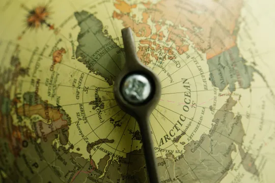
- This interactive simulation resource provides four different climate conditions to explore: Arctic Sea Ice over time, predicted Sea Level Rise in four different coastal areas, Carbon Dioxide Concentrations over time, and Global Average Temperature over time.
- Each option includes a time-series map using data that is updated regularly and a description of the data presented.
Subjects: Chemistry, Biology, Earth and Space Sciences
Authors: NASA
Region: Asia, North America, Polar Regions, South and Central America, USA - South, United States, Global
Languages: English
Teaching Materials
Positives
- Students can see actual satellite images or maps with data showing how our planet has changed or how it could change in the future.
- The animations are brief but engaging.
Additional Prerequisites
- Students should be familiar with reading global maps.
- Access to the Internet is required to access the information.
Differentiation
- This resource could be incorporated into a variety of lessons in history, geography, or social studies classes to discuss the varying effects of climate change in different parts of the world and how those effects have changed or affected humans through time.
- Students could work in groups or individually to explore the various tools.
- Science classes can use this resource to quickly show global changes in recent history and to help students visualize the impact of sea level rise on various coastlines.
- Social studies classes could discuss how these changes are affecting communities around the world and what measures could be taken in cities and rural communities to respond.
This resource visualizes real-time data on the rate of melting sea ice near Greenland from satellite images. This is caused by climate change, resulting in sea level rise and inundating low-land and coastal areas. The resource connects students to the causal factors influencing the climate. It is recommended for teaching.
Teaching Tips
Standards
Resource Type and Format
Scientist Reviewed
This resource has been reviewed by SubjectToClimate's climate scientists and verified for scientific accuracy and up-to-date information. Our review process ensures that every resource in our library reflects the current state of climate science.
Learn about our review process →