
Urban Water Blueprint

This resource has been reviewed by SubjectToClimate's climate scientists and verified for scientific accuracy and up-to-date information. Learn about our review process →
Provided by: The Nature Conservancy|Published on: April 27, 2021
Data, Graphs, and MapsScientist Reviewed
6789101112
Scientist Reviewed This resource has been reviewed by SubjectToClimate's climate scientists and verified for scientific accuracy and up-to-date information. Learn about our review process →
Synopsis
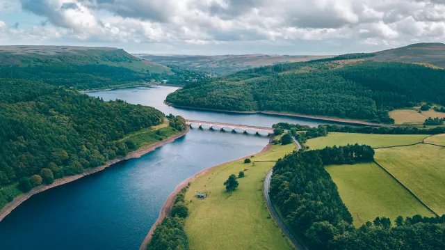
- This interactive global map from The Nature Conservancy provides a variety of information about the sources of urban water supplies, the risks to clean water access, and solutions.
- Students will learn about water quality, water quantity, riparian restoration, forest protection, reforestation, and forest fuel reduction.
Subjects: Biology, Earth and Space Sciences
Authors: The Nature Conservancy
Region: Global
Languages: English
Teaching Materials
Positives
- Students can click on a city or watershed for more data and information. They can then press the globe icon to return to the full map view.
- Students can search for data and information for a specific city in the search bar.
Additional Prerequisites
- There is a link to download the full report in the overview section.
- The water quantity section mentions that the Water Blueprint only evaluates surface water sources.
Differentiation
- Students can search for data on their home or neighboring cities.
- Students can record data on water sources and land use for different cities, compare their findings, and analyze the differences.
- Students can search the water supplies for their local watersheds and analyze the quality, quantity, and conservation solutions.
- Other resources related to these topics include this article about how forests can help maintain water quality in urban areas and this United States interactive map of a variety of environmental factors including water pollution.
The resource highlights the capacity of nature to restore urban water quality devoid of pollution. The map is recommended for students to explore issues relating to urban water quality and health.
Teaching Tips
Standards
Resource Type and Format
About the Partner Provider
The Nature Conservancy
The Nature Conservancy is a global environmental nonprofit working to create a world where people and nature can thrive. The Nature Conservancy has grown to become one of the most effective and wide-reaching environmental organizations in the world.
Scientist Reviewed
This resource has been reviewed by SubjectToClimate's climate scientists and verified for scientific accuracy and up-to-date information. Our review process ensures that every resource in our library reflects the current state of climate science.
Learn about our review process →