
Daily Sea Ice Timeseries & Maps

This resource has been reviewed by SubjectToClimate's climate scientists and verified for scientific accuracy and up-to-date information. Learn about our review process →
Provided by: Climate Change Institute, University of Maine|Published on: April 27, 2021
Data, Graphs, and MapsScientist Reviewed
6789101112
Scientist Reviewed This resource has been reviewed by SubjectToClimate's climate scientists and verified for scientific accuracy and up-to-date information. Learn about our review process →
Synopsis
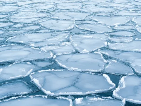
- This interactive graph shows the size of Arctic and Antarctic ice cover every year going back to 1978.
- Users can turn on and off plot lines for individual years, making it easy to compare the differences in the amount of ice in different years.
Subjects: Earth and Space Sciences
Authors: Climate Change Institute, University of Maine
Region: North America, Polar Regions, USA - Northeast, United States, Maine
Languages: English
Teaching Materials
Positives
- These graphs show how the extent of sea ice changes over a year due to the seasons and, more importantly, how the amount of sea ice, particularly in the Arctic, has decreased over time.
- Students can click on the data lines to select a specific date, and the map below the graph will provide a visual depiction of the extent of sea ice on that date.
- Students can switch between Northern and Southern Hemispheres by clicking "switch hemispheres" in the top righthand corner of the screen.
Additional Prerequisites
- The link to the NCEP Climate Forecast System does not work.
- The different plot lines can be turned on and off by clicking the individual years below the graph.
Differentiation
- Math or science classes could have students calculate the percentage of change in sea ice extent between the same date in two different years.
- Earth science classes could discuss what has caused the decrease in the amount of ice since the 1970s and what can be done to stop the damage.
- Other resources on this topic include this Vox video on what melting sea ice means for the Arctic, this lesson on the difference between land ice and sea ice, and this NASA lesson on sea ice and global warming.
There is no contradiction in the resource. This resource is recommended.
Teaching Tips
Standards
Resource Type and Format
Scientist Reviewed
This resource has been reviewed by SubjectToClimate's climate scientists and verified for scientific accuracy and up-to-date information. Our review process ensures that every resource in our library reflects the current state of climate science.
Learn about our review process →