
U.S. Drought Monitor

This resource has been reviewed by SubjectToClimate's climate scientists and verified for scientific accuracy and up-to-date information. Learn about our review process →
Provided by: National Drought Mitigation Center at the University of Nebraska-Lincoln|Published on: April 27, 2021
Articles/WebsitesScientist Reviewed
6789101112
Scientist Reviewed This resource has been reviewed by SubjectToClimate's climate scientists and verified for scientific accuracy and up-to-date information. Learn about our review process →
Synopsis
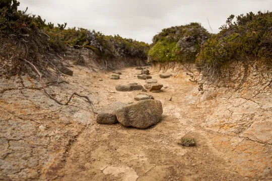
- This interactive map and summary provide up-to-date information about the state of droughts in the United States, Puerto Rico, United States Virgin Islands, and some Pacific Islands.
- There are links for additional information, students can click on various regions for more details, and all maps and data can be downloaded.
Subjects: Earth and Space Sciences
Authors: National Drought Mitigation Center at the University of Nebraska-Lincoln, USDA, NOAA
Region: North America, United States, Oceania, Caribbean, Puerto Rico, U.S. Pacific Islands, U.S. Caribbean Islands
Languages: English
Teaching Materials
Positives
- This resource is updated weekly and provides a summary of drought conditions in eight regions within the United States.
Additional Prerequisites
- Students should know how to read a map.
Differentiation
- The map identifies the locations of major rivers and all state boundaries, so it could be useful for geography courses.
- Related topics to explore with students include the links between droughts and more intense wildfires, food and water security, wildlife populations, plant communities, and human migration patterns.
- Other resources about drought include this video about the drought in California, this article about droughts, and this article about climate migrants affected by drought.
This resource highlights areas exposed to drought risks and also locations experiencing drought conditions. The water balance ratio was calculated to aid the scaling of drought conditions in the locations. Since datasets are updated regularly, this resource is recommended for teaching.
Teaching Tips
Standards
Resource Type and Format
Scientist Reviewed
This resource has been reviewed by SubjectToClimate's climate scientists and verified for scientific accuracy and up-to-date information. Our review process ensures that every resource in our library reflects the current state of climate science.
Learn about our review process →