
Restor

This resource has been reviewed by SubjectToClimate's climate scientists and verified for scientific accuracy and up-to-date information. Learn about our review process →
Provided by: Restor|Published on: April 27, 2021
Data, Graphs, and MapsScientist Reviewed
6789101112
Scientist Reviewed This resource has been reviewed by SubjectToClimate's climate scientists and verified for scientific accuracy and up-to-date information. Learn about our review process →
Synopsis
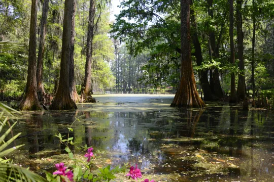
- This interactive mapping tool allows users to examine the restoration potential of a specific area by drawing a polygon on the map in order to view data about the carbon, water, biodiversity, environment, socioeconomic situation, scientific monitoring, ecosystems, and tree cover for the area inside the polygon.
- Students can click on the yellow markers on the map to view restoration sites around the world.
Subjects: Biology, Earth and Space Sciences, Geography
Authors: Restor
Region: Global, New Jersey
Languages: English
Teaching Materials
Positives
- This fun resource can be used in a variety of engaging ways.
- Some of the restoration sites have a "satellite time series" that shows the restoration progress via satellite images.
- Students can view the world map using a wide variety of data layers.
Prerequisites
- Students can take a tour by clicking the question mark icon located at the bottom right-hand corner of the screen.
Differentiation & Implementation
- Biology classes can use this resource to look at the biodiversity in different regions.
- Science classes can use the bar on the left side of the page, searching by "intervention type" to learn more about restoration projects around the world.
- Other resources on this topic include this video on the loss of biodiversity, this video from the Nature Conservancy that shows how nature can solve climate change, and this Khan Academy video on conservation.
The map provides real-time data on human modification of land from satellites. It is useful for acquiring on-the-spot information on land use, land cover change, and classification. This resource is recommended for teaching.
Teaching Tips
Standards
Resource Type and Format
Scientist Reviewed
This resource has been reviewed by SubjectToClimate's climate scientists and verified for scientific accuracy and up-to-date information. Our review process ensures that every resource in our library reflects the current state of climate science.
Learn about our review process →