
Fires

This resource has been reviewed by SubjectToClimate's climate scientists and verified for scientific accuracy and up-to-date information. Learn about our review process →
Provided by: Resource Watch|Published on: April 27, 2021
Data, Graphs, and MapsScientist Reviewed
6789101112
Scientist Reviewed This resource has been reviewed by SubjectToClimate's climate scientists and verified for scientific accuracy and up-to-date information. Learn about our review process →
Synopsis
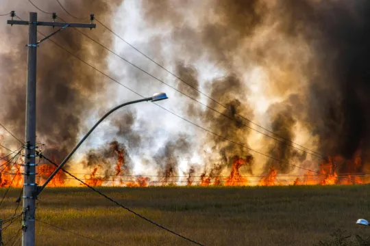
- This interactive map displays near-real-time active fires globally from the past week using satellite data provided by NASA's Fire Information for Research Management System.
- The map can be set to display all fires or only large fires, and points are color coded to identify how many days ago the fire was detected.
Subjects: Earth and Space Sciences, Geography
Authors: Resource Watch
Region: Global, New Jersey
Languages: English
Teaching Materials
Positives
- The map is simple and would be easy for students to navigate on their own.
- The data is updated twice daily so the map remains accurate to real-time fire events.
Prerequisites
- Students should have some basic geography knowledge in order to make sense of the map.
Differentiation & Implementation
- Additional datasets from Resource Watch can be added to the map to view more than one at a time. For example, data for burned areas, fire weather, or other disaster events could be added so it displays simultaneously with the active fire data.
- This map could be used in a science class when learning about the connections between wildfires and climate change to demonstrate which areas of the world are impacted most.
- This map could be used in a geography class to discuss geographical trends related to climate change.
- This youth story about wildfires could be used along with this resource to add a more personal element to the lesson or activity.
This interactive map shows daily information on fires outbreak. It also shows real-time data on the spatial locations of areas at risk to fires. Datasets are accurate and the resource is recommended for teaching.
Teaching Tips
Standards
Resource Type and Format
Scientist Reviewed
This resource has been reviewed by SubjectToClimate's climate scientists and verified for scientific accuracy and up-to-date information. Our review process ensures that every resource in our library reflects the current state of climate science.
Learn about our review process →