
EnviroAtlas Webquest

This resource has been reviewed by SubjectToClimate's climate scientists and verified for scientific accuracy and up-to-date information. Learn about our review process →
Provided by: EPA|Published on: September 22, 2021
VideosScientist Reviewed
6789101112
Scientist Reviewed This resource has been reviewed by SubjectToClimate's climate scientists and verified for scientific accuracy and up-to-date information. Learn about our review process →
Synopsis
- In this activity, students will complete a step-by-step worksheet that will show them how to use the EnviroAtlas.
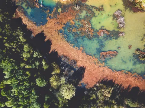
- The EnviroAtlas is an interactive map of the United States that provides data on a variety of environmental topics, such as carbon storage, pollutants, and energy potential.
Subjects: Biology, Earth and Space Sciences, Geography
Authors: EPA
Region: North America, United States
Languages: English
Teaching Materials
Positives
- The lesson plan and student handout provide a step-by-step guide on using the interactive maps.
- The activity is hands-on and will keep the students engaged.
- Data provided in the Webquest tool includes demographics, ecological boundaries, pollution sources and impacts, ecosystem services and biodiversity, and time series layers.
Prerequisites
- Teachers should spend some time going through the steps on the worksheet before using it with students.
- Students will need computers, Internet access, and printouts of the handouts.
- Teachers may want to pair students who need assistance with students who are facile with technology.
Differentiation & Implementation
- Advanced students could form a hypothesis about the correlation between two layers and then use the EnviroAtlas to see if the data supports the hypothesis.
- Students could use the EnviroAtlas to research information about the local community and present the information using a slideshow, a podcast, or a video.
- Other resources on this topic include this Google Earth timelapse that shows the effects of human activity on forests, this interactive map of the United States's energy infrastructure and resources, and this interactive world map that shows areas vulnerable to coastal flooding and sea level rise.
This is a Webquest activity that enables students to explore map features and analyze maps from selected data layers and attributes. This is recommended for teaching.
Teaching Tips
Standards
Resource Type and Format
Scientist Reviewed
This resource has been reviewed by SubjectToClimate's climate scientists and verified for scientific accuracy and up-to-date information. Our review process ensures that every resource in our library reflects the current state of climate science.
Learn about our review process →